Tabula Rogeriana (2011 -2017)
“We betray it approaching it from a Eurocentric perspective, to see the
Mediterranean as an entirely Latin or Roman creation or from a Hellenic
viewpoint [...]. The Mediterranean has never just been Europe – it has been
much more for so long...they cannot be one without the other.”
P. Matvejevic, Mediterranean.
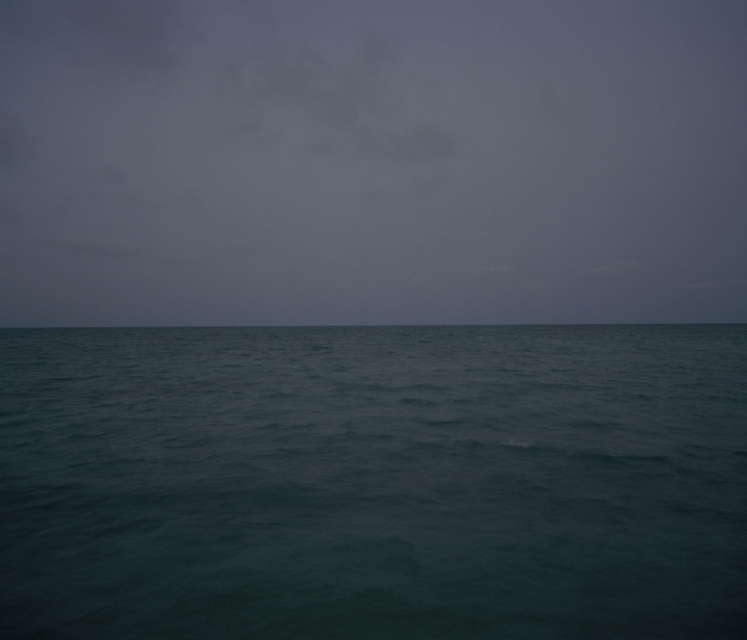
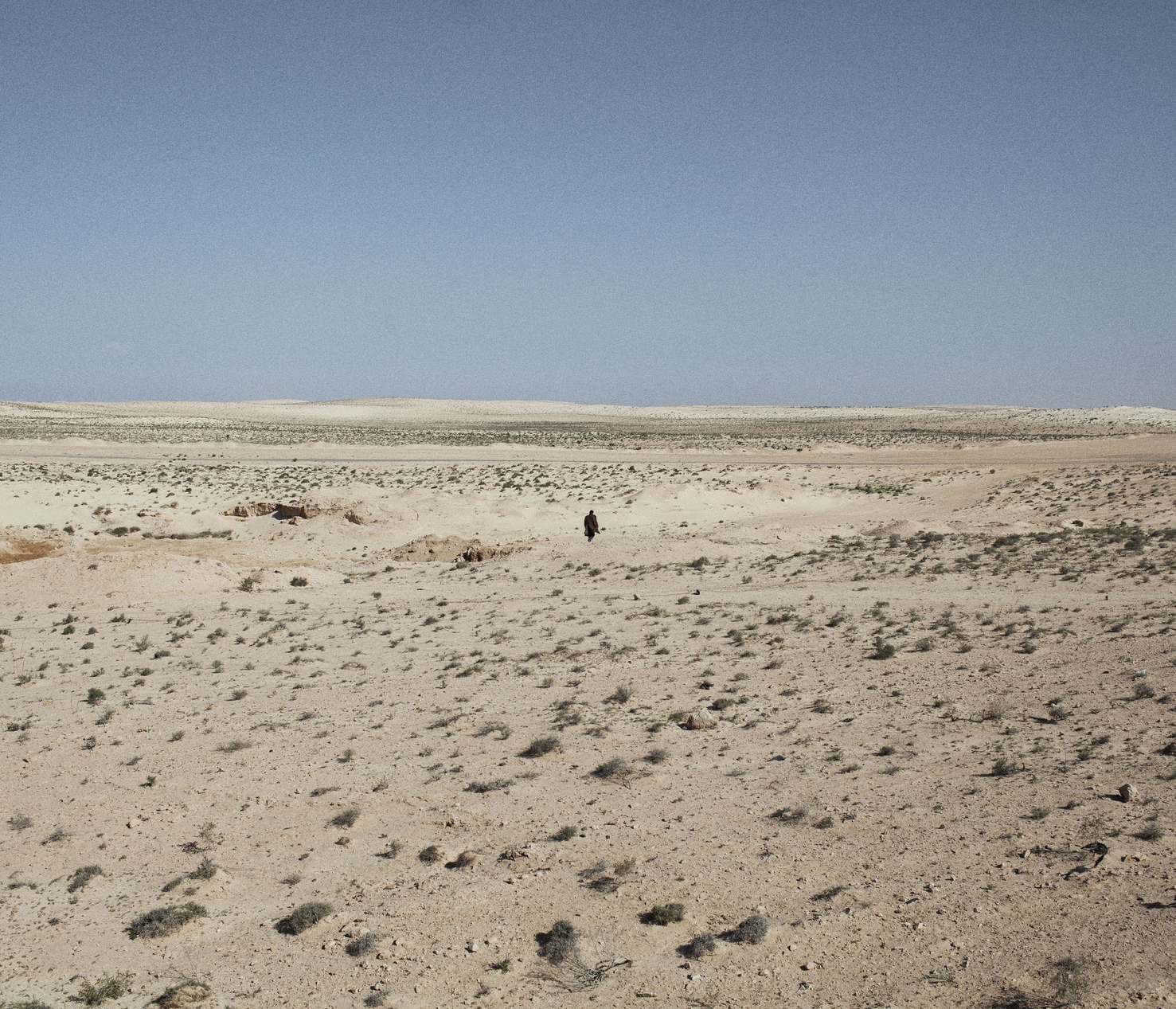
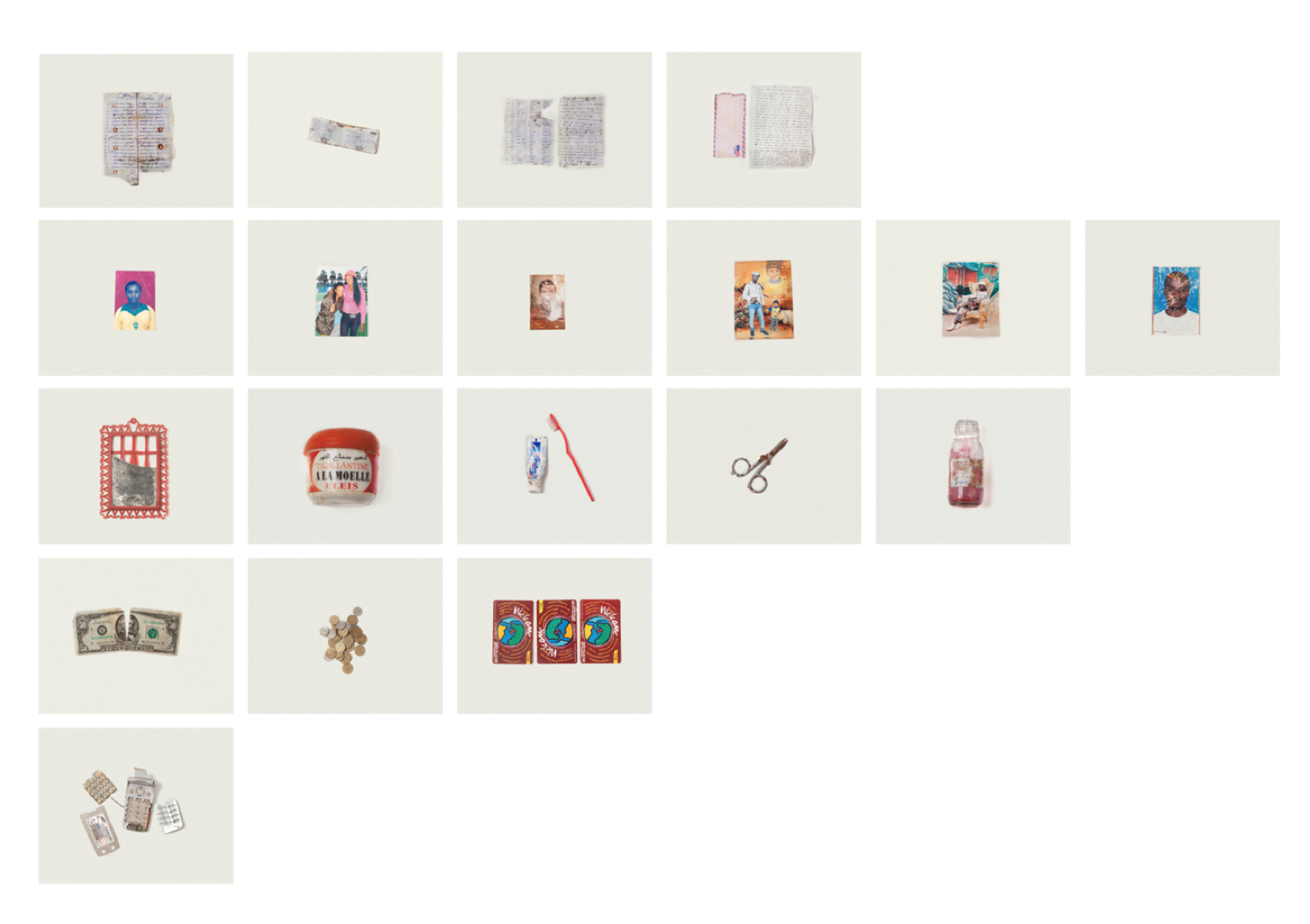
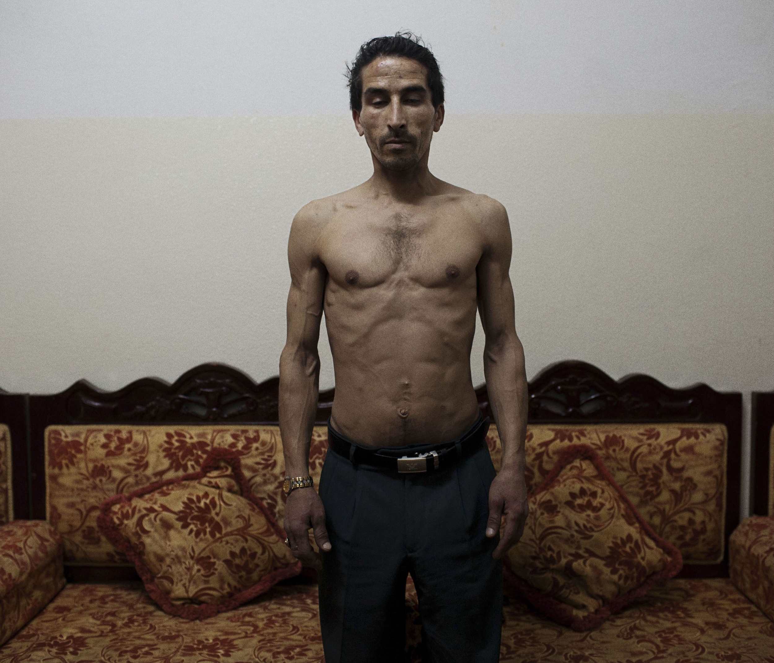
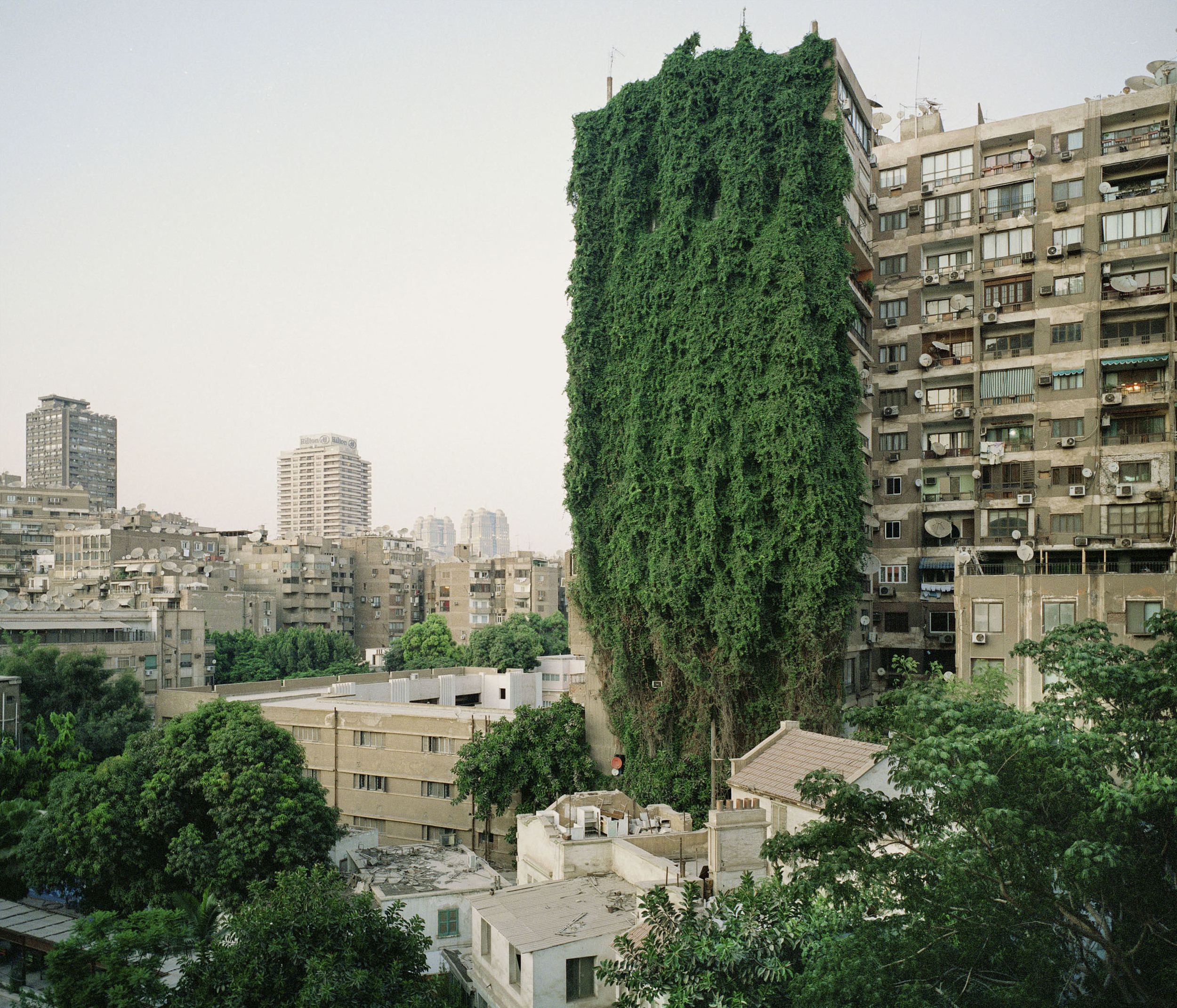
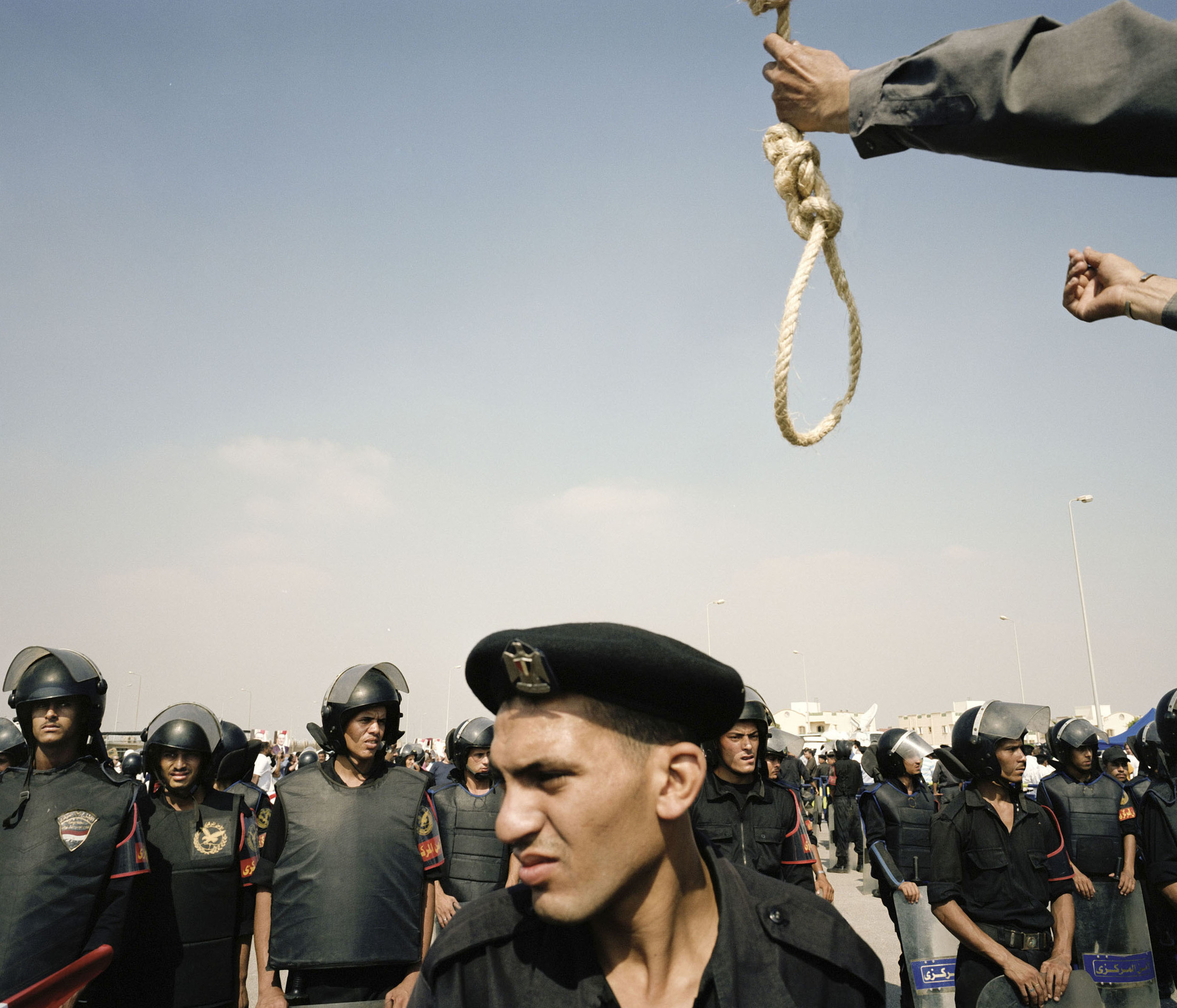
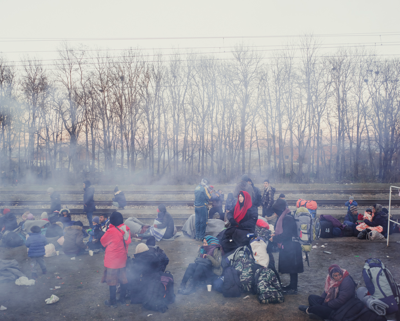
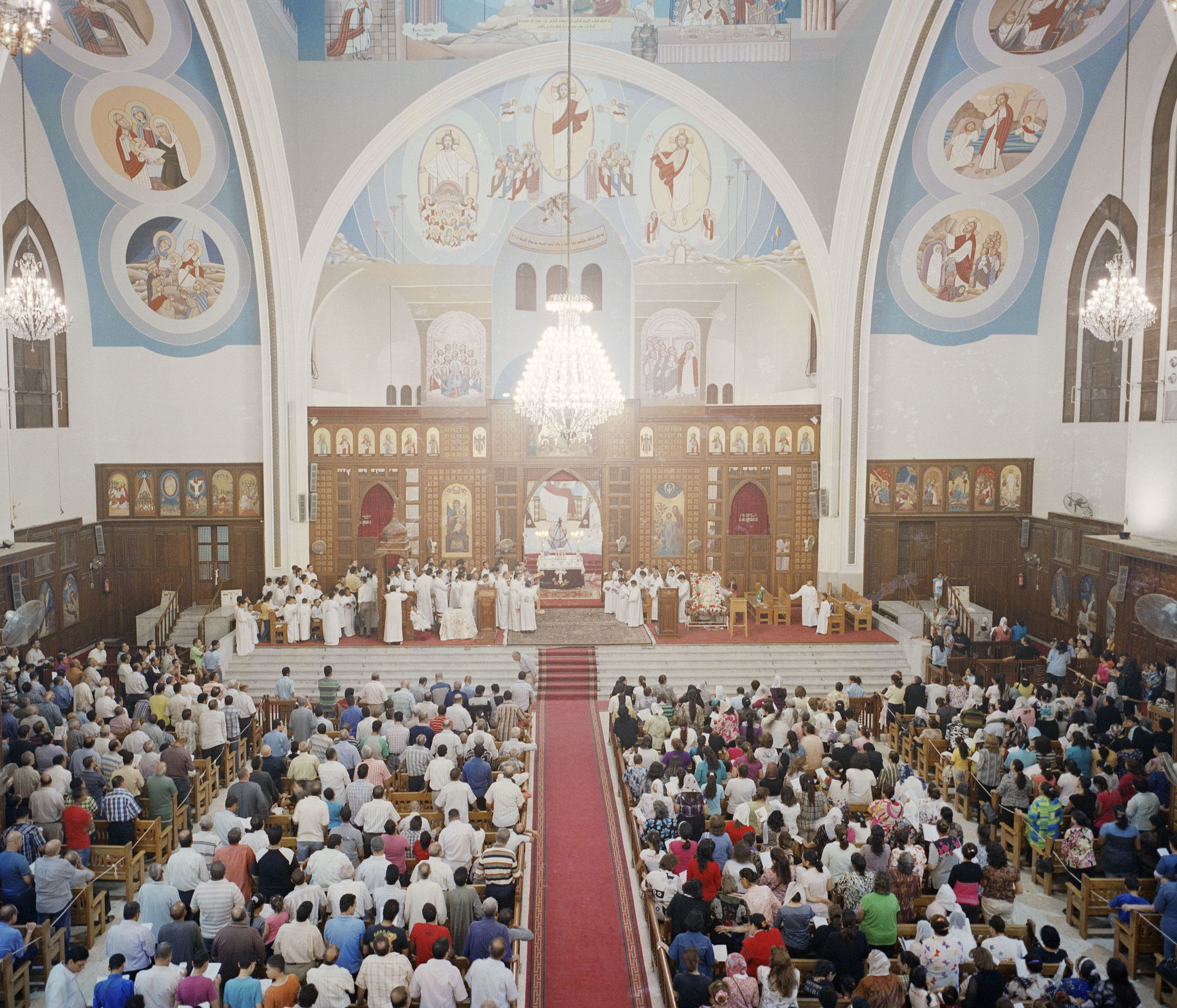
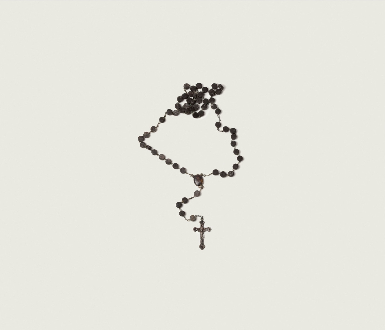
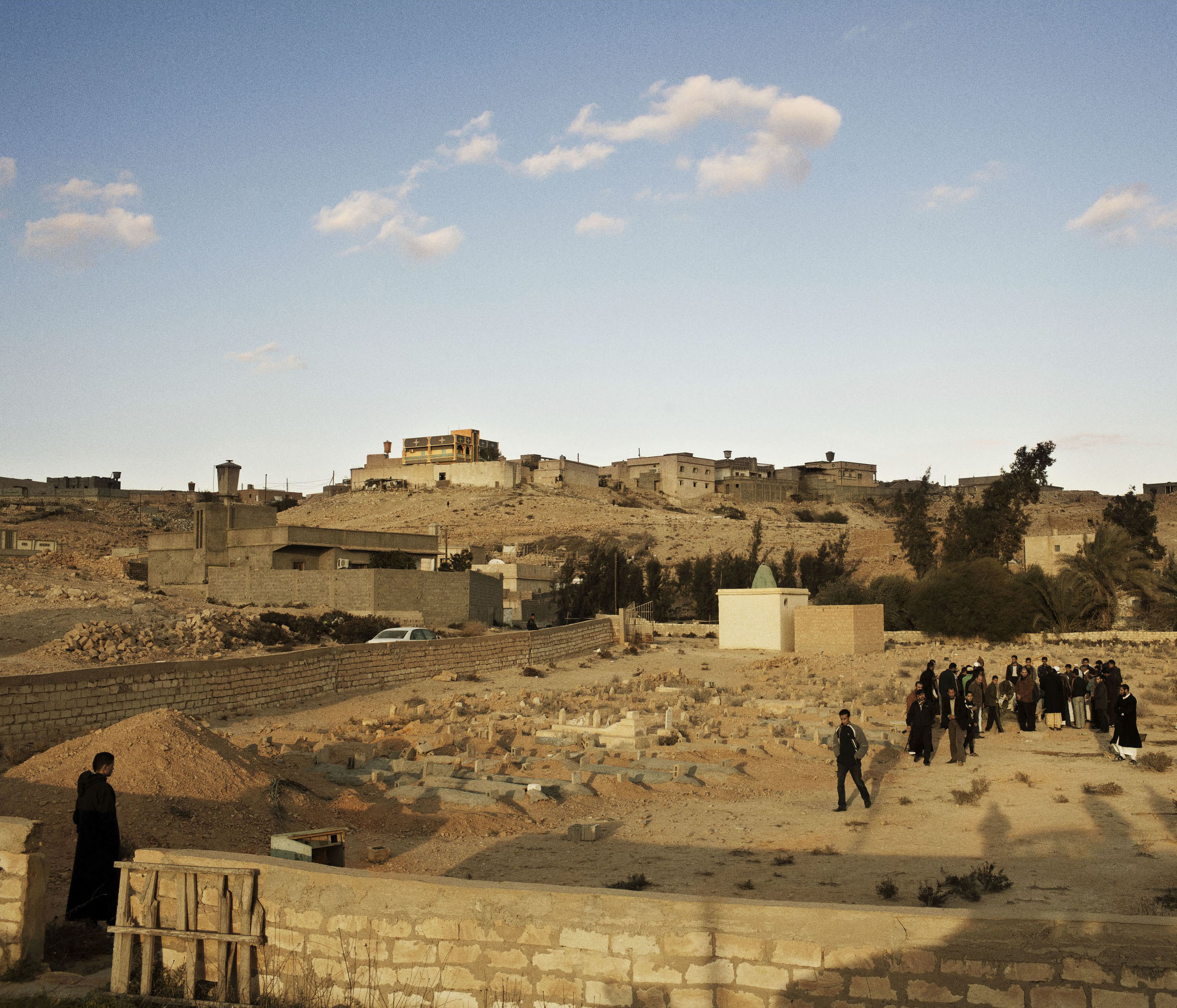
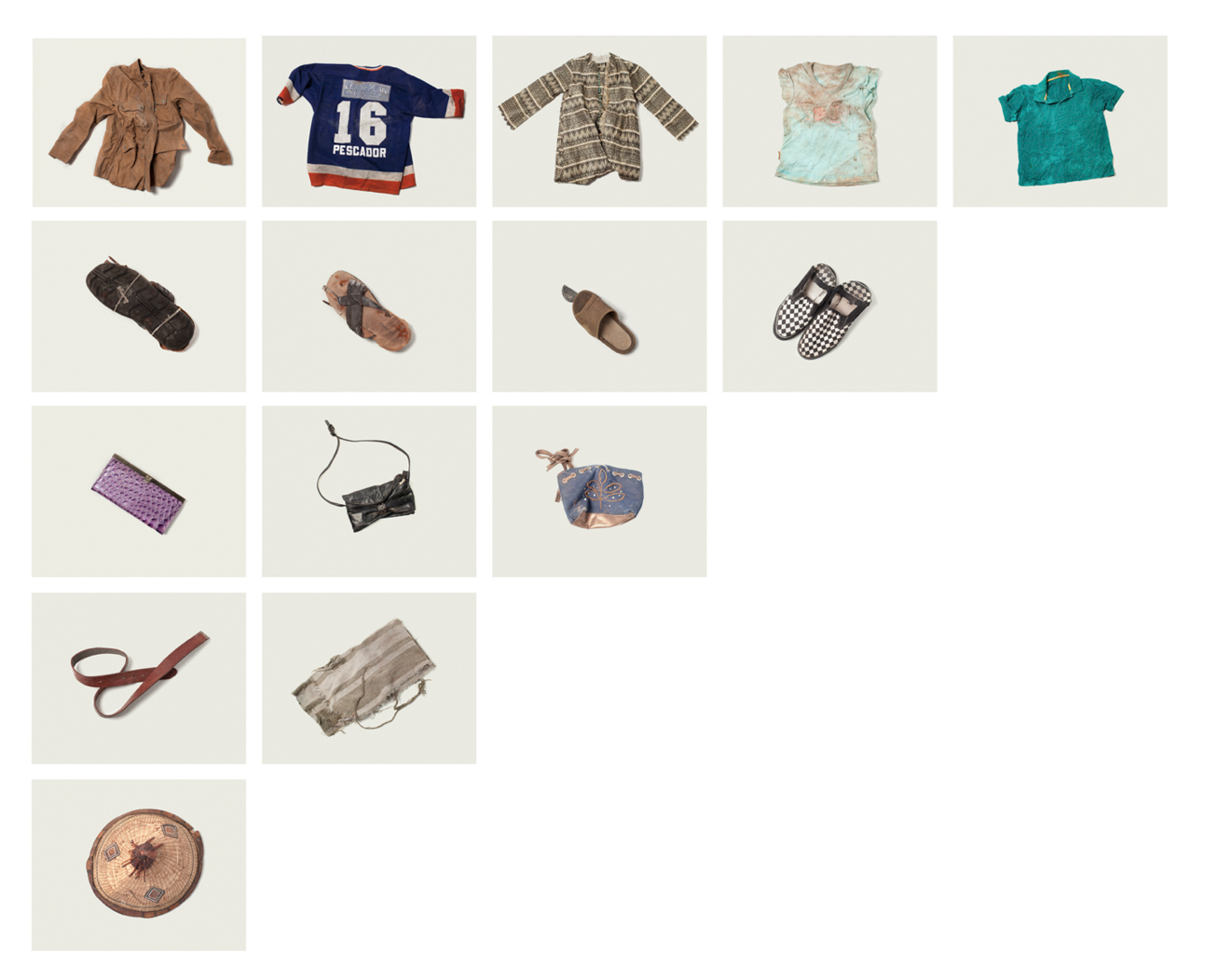
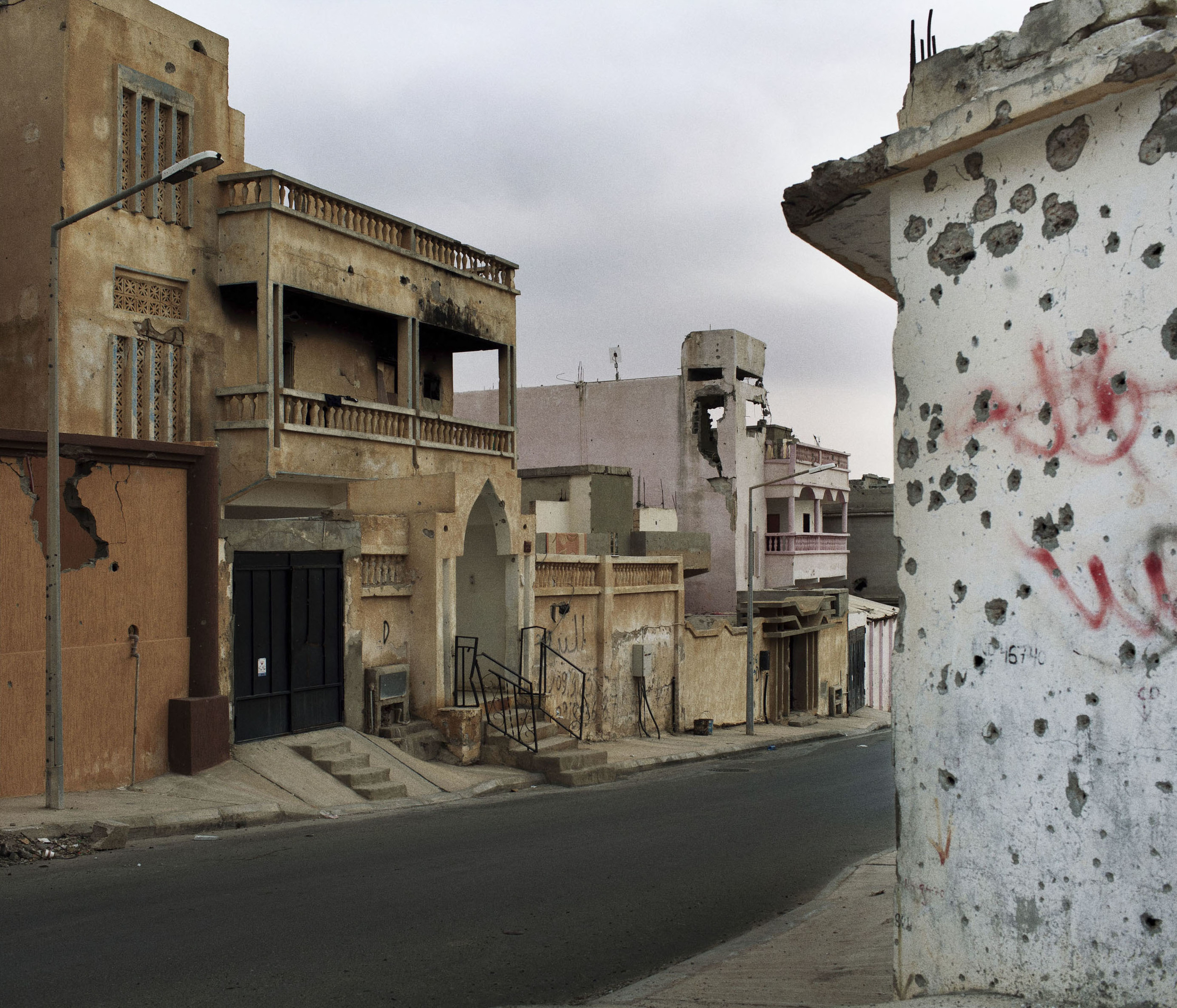
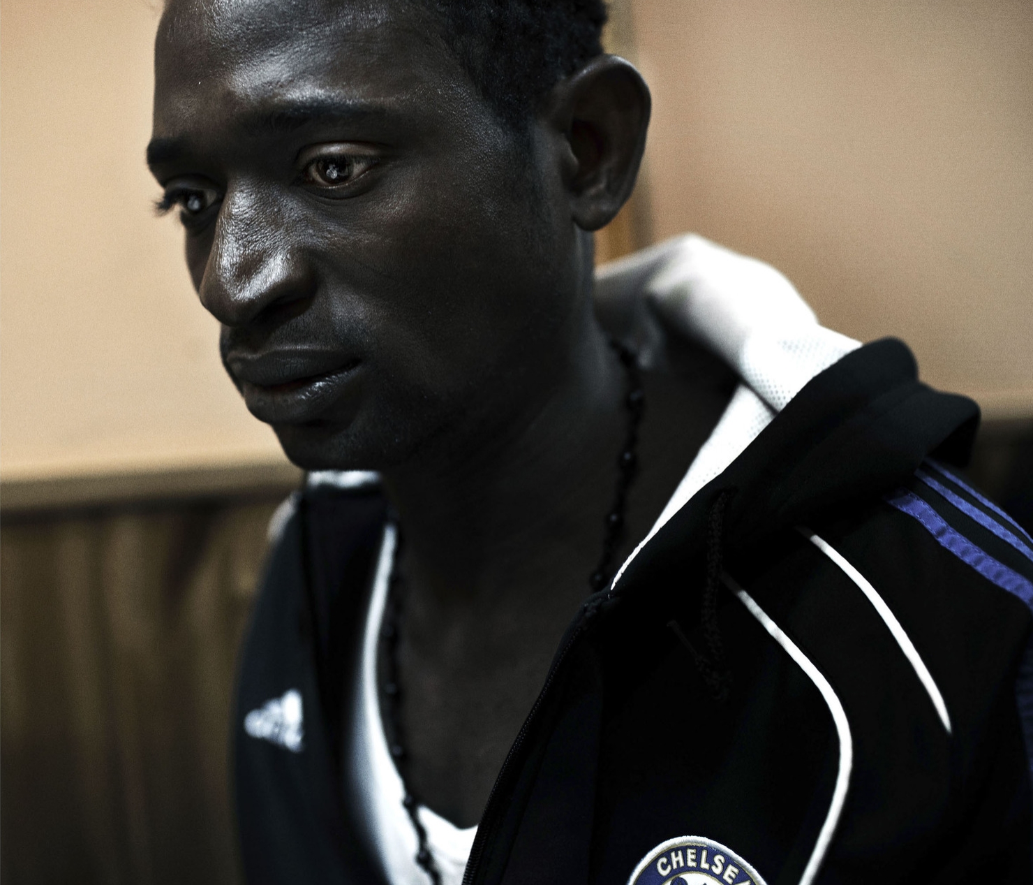
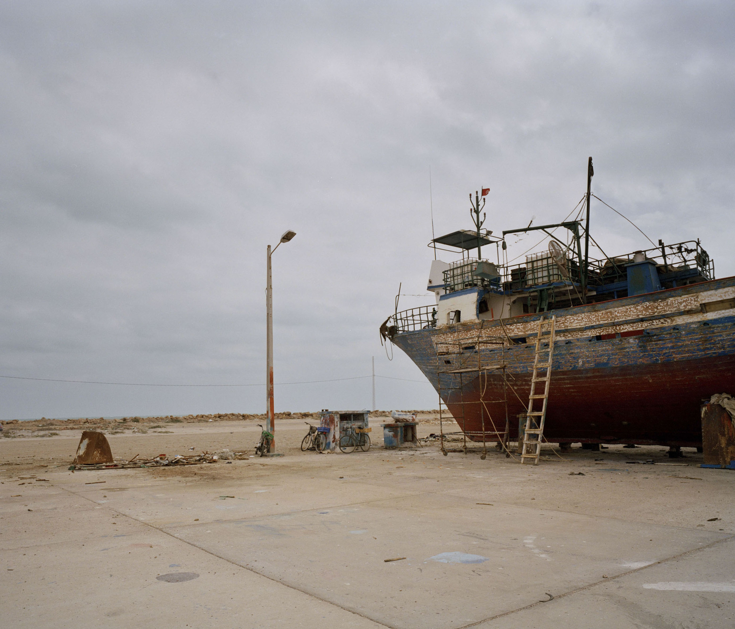
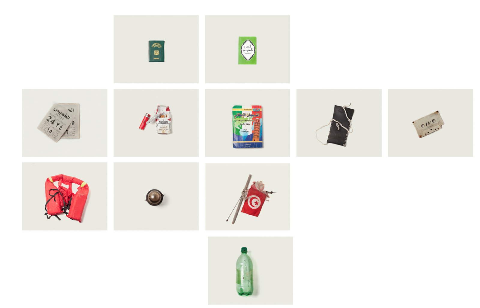
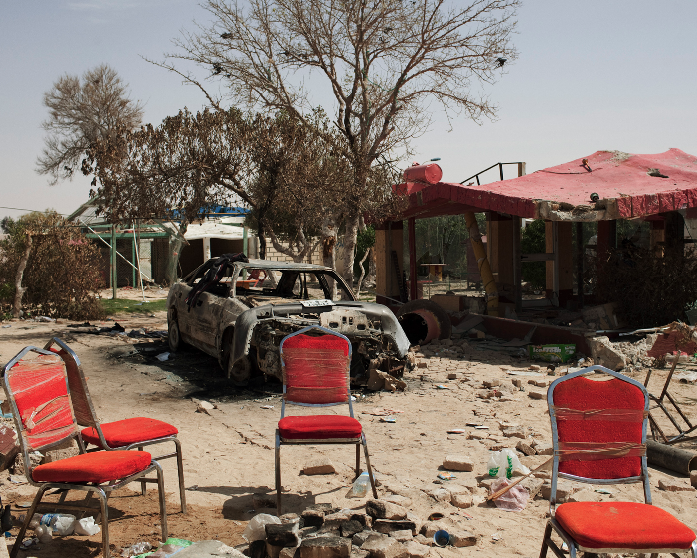
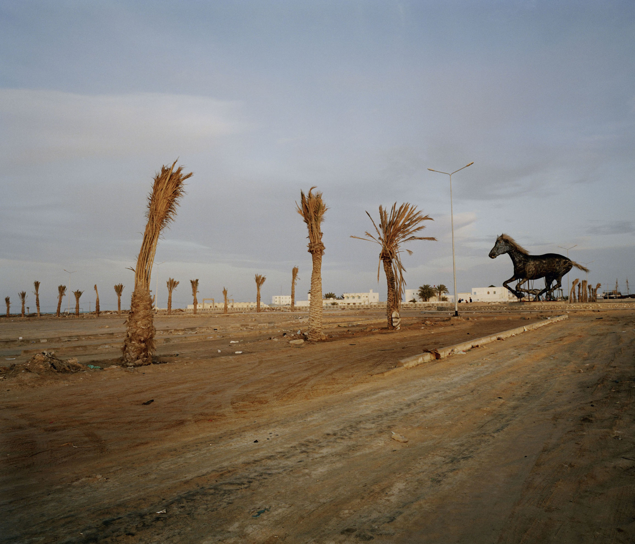
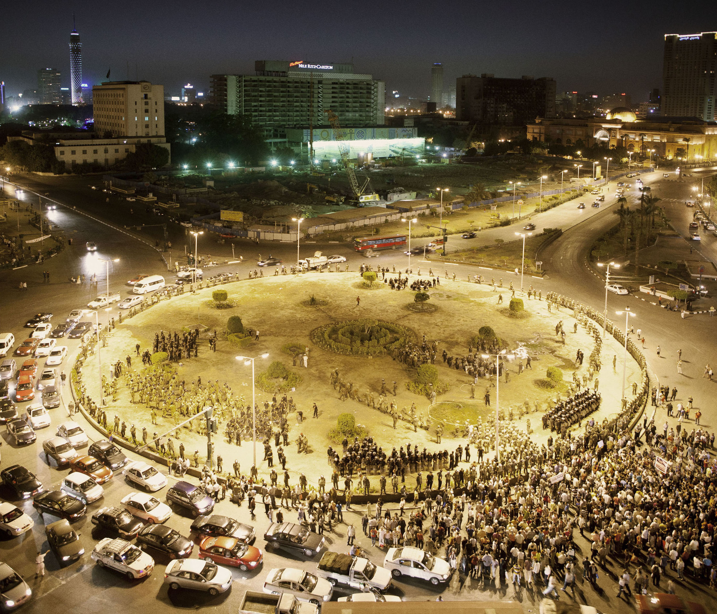
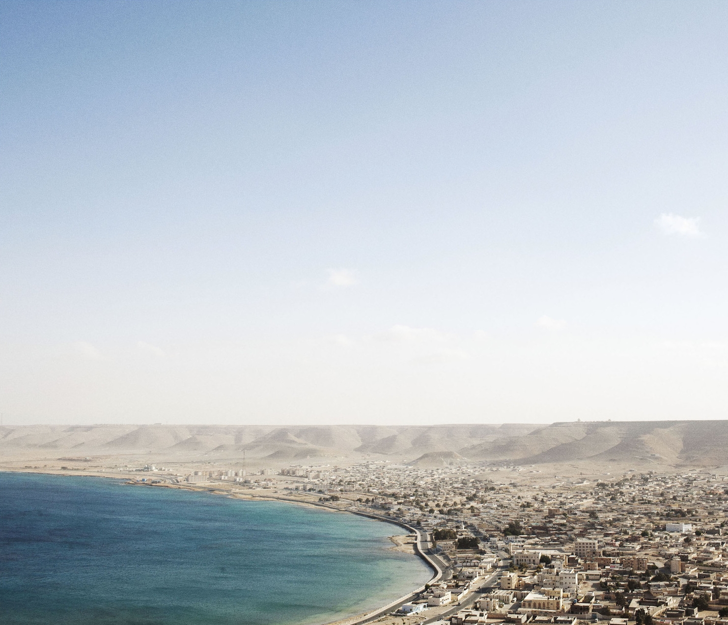
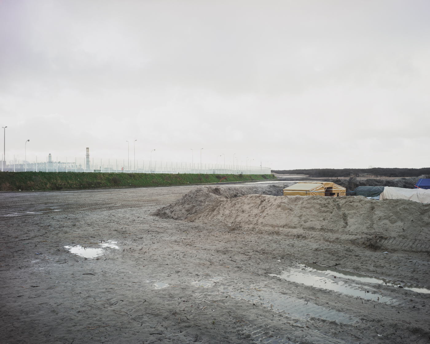
At the beginning of the Arab Springs I was covering the upraising in Tunisia and in Egypt. As soon as the war started in Libya I was in Benghazi and then in Tripoli. I followed the situation of immigration in Lampedusa in the southern Italy. Back in Italy and Russia to continue a personal project I took a break from the events of Northern Africa. In the last 2 years I developed different project, but in the mean time I have been reading“The Mediterranean” by Predrag Matveievich, and I have been fascinated by an old map from the 12 century by the Arab Cartographer and Scientist Muhammad al-Idrisi. In 1138 the Arabian geographer Muhammad al-Idrisi started a research to realise a detailed description and a map of the known world. The commissioner of this work was the King of Sicily Roger II, who was looking to amass as much knowledge as possible so that he can use it to govern the ever-expanding kingdom. Tabula Rogeriana became the most significant source of information on the political, cultural, physical and social conditions of the territories under investigation. It’s also a historical example of collaboration between a Christian ruler and a Muslim scholar, working on a project aimed at tolerance and assimilation. Not surprisingly then, the realised maps contradict contemporary geographical standards - the North was placed at the bottom, the South on the top and the Arab peninsula, the with the holy site of the Mecca, right in the centre. The reversed vision proposed by al-Idrisi embodies the significance of Mediterranean at those times. With the idea of this reversed map, and the texts of Predrag Matveievich in mind, I started reconsidering the possibility of re-interpreting the work I started year before during the Arab Springs using the map of al-Idrisi as a starting point for my research on the southern side of Mediterranean sea. The Arab spring, the conflicts in the Middle East and Syria, the new waves of migrations in the Mediterranean and the economical crisis in Europe are constant sources of diffidence and clashes in the Mediterranean region. al-Idrisi’s Tabula Rogeriana serve as a departure point for my research as my intention is to create a visual atlas of the current situation of the southern coast of the Mediterranean Sea from Gibraltar to Dardanelles. Inverting Western axes, the Tabula Rogeriana places the Maghreb on the Northern shores of the “Inner Sea”. On the map created by al-Idrisi what later has to become Europe dissipates diaphanously on its Southern margins. The southern shore of Europe lacks continentality. Northern Africa, by contrast, is robust and solid. These geographical images in fact incite all major questions of contemporary Mediterranean region. To what extent Europe might continue lacking continentally today, despite its attempts to project a new Pax Europeana on its Maghrebian shore? What will be the relations between Europe and Nothern Africa? Will Mediterranean regain the importance of historical time and will become back the a “meeting ground”? Indeed, through the tabular lens of al-Idrisi's medieval geographical imagination, we may freshly see how the Mediterranean saturates European space, surrounding it on all sides, rendering the entity of its landmass fragile and island-like. This view needs recuperating so as to better grasp the contemporary worlding of the Arab world. Tabula Rogeriana at its core might be considered a journalistic work, where documenting played significant part. My artistic practice traces back to documentary photography, and I intend to stick to it during this project as it reveals the essence of al-Idrisi’s work at best.